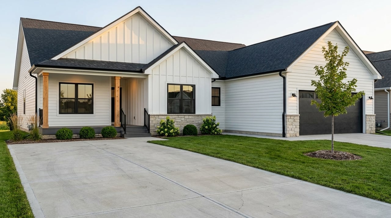
Moving to Gretna and trying to make sense of school zones and new campuses? You are not alone. Families here often plan a home search around school assignments, bus routes, and activities. In this guide, you will learn how Gretna Public Schools is organized, what changed for 2024–25 and 2025–26, how neighborhoods map to schools, and the exact steps to verify an address before you write an offer. Let’s dive in.
Gretna Public Schools overview
Gretna Public Schools (GPS) serves K–12 students across Gretna and western Sarpy County. The district has grown fast and now provides an interactive boundary map and a registration portal so you can check any street address.
- Use the district’s Boundary Map to confirm assignments by year. The map is the best place to start and includes layers for elementary, middle, and high school years. Open the GPS Boundary Map.
- For a quick address lookup, you can also use the district’s dedicated map link with year-by-year layers. Go to the interactive map.
Elementary boundaries 2024–25
To handle growth, GPS updated elementary attendance areas for the 2024–25 school year and opened Cedar Hollow Elementary in August 2024. The district now operates eight elementary schools within the current plan. If you are comparing neighborhoods, always select the correct school year in the map before you rely on a zone.
- The district’s February 2024 notice outlines the updated elementary zones and explains how neighborhoods were reassigned with the Cedar Hollow opening. See the 2024–25 boundary update.
- Cedar Hollow Elementary was added as part of a multi-school expansion that also included new buildings in recent years. Read the Cedar Hollow announcement.
Middle school changes 2025–26
A third middle school, Giles Creek Middle School, is scheduled to open in August 2025. The district adopted new middle school boundaries and published feeder assignments for 2025–26. This gives you a preview of how GPS plans capacity and how elementary zones connect to middle schools.
- The 2025–26 plan shows a feeder pattern across the three middle schools. For example, Aspen Creek Middle will take Aspen Creek Elementary and Cedar Hollow plus parts of Harvest Hills. Giles Creek Middle will take Falling Waters plus parts of Squire John Thomas and Whitetail. Gretna Middle will take Gretna Elementary and most of Harvest Hills. Review the 2025–26 middle school update.
- If you are near a boundary, confirm the exact address since some subdivisions are split by roads or parcels. The district’s map is the authority.
High schools and activities
GPS operates two high schools: Gretna High School and Gretna East High School. Gretna East opened in August 2023 and was designed for comprehensive programming, including CTE spaces and athletics, with capacity for about 1,600 students. See the Gretna East project overview.
During the inaugural year, the district noted that some teams and facilities were shared, such as unified teams in select sports and a shared football field arrangement. These details can change as enrollment grows and classifications update, so always check current school pages for the latest. Read local opening coverage.
Conference placement is set to match competition levels and can evolve with enrollment. Recent reporting noted alignment in the Eastern Midlands Conference for many activities. For schedules and rosters, go straight to each school’s site: Gretna High School and Gretna East High School.
Neighborhood examples to know
GPS assigns attendance by address, and the district lists example neighborhoods for each school. Use these only as a starting point, then verify the exact property address in the interactive map.
- Cedar Hollow Elementary (8220 S 170th St.) includes assignments from Cedar Hollow, Cedar Ridge, Giles Pointe, Harrison Woods, Hills of Aspen, Hillview, Mirabel, Windsor East, and Windsor West. See the 2024–25 boundary update.
- Squire John Thomas Elementary (11221 Northridge Dr.) serves areas that include Highland Pointe, Highland Trails, Lincoln Place, Point Sans Arc, Prairie Ridge, and nearby parcels defined by major roads. View neighborhood examples.
- Whitetail Creek Elementary (19110 Greenleaf St.) includes Crystal Creek, Sarpy Heights, Sunset Meadows, and an area northeast of Hwy 6 and Hwy 370. Confirm details in the district post.
Important: Subdivisions can be split. A street on one side of a neighborhood may belong to a different school than a street one block over. Always confirm your specific address in the district map. Start the address check here.
Verify your school assignment
Use this step-by-step checklist before you make an offer.
Check the district’s interactive map. Select the correct year layer, such as Elementary 24–25 or Middle 25–26, then enter the property address. Open the GPS map.
Contact district Enrollment. Call or email the district office for written confirmation, especially if the home is near a boundary or planned change. Find district contacts and links.
Confirm the legal parcel. Use Sarpy County’s assessor or GIS search to check the parcel ID, subdivision name, and taxing district. This helps you communicate clearly with the district and title. Search Sarpy County Assessor.
Loop in your agent or title. Ask the seller’s agent or title company to verify the school assignment during due diligence. Share a screenshot of the district map and the parcel record. The district’s registration office is the final authority. Reference the Boundary Map page.
Review district notices. If you already have students in GPS, log into NebSIS Family for boundary letters and official updates that were used during recent changes. See the middle school boundary update.
Monitor board and news pages. Watch district news and board agendas for rezoning proposals, new construction, and bond measures. You can also subscribe to district updates. Browse district news.
Plan for future growth
Gretna sits inside fast-growing Sarpy County. From 2023 to 2024, USAFacts reports the county added about 4,400 residents, a gain of around 2.2 percent. That growth drives both new housing and school-capacity planning. See the Sarpy County snapshot.
County infrastructure projects often signal where new capacity may be needed next. Plans along the 168th to 180th corridors and near Giles can point to future development and potential boundary updates. Keep an eye on county communications for road projects and related growth. Check Sarpy County alerts.
If you want deeper performance or enrollment data while you plan, the Nebraska Education Profile provides building-level information. Pair NEP data with the district’s published updates for the most complete picture. Open the NEP tool.
Make your move with confidence
School planning does not have to slow your search. With the district’s map, recent boundary updates, and a clear verification process, you can choose a home that fits your timeline and your student’s needs. If you want a local guide to help you match neighborhoods with current and upcoming school boundaries, we are here to help with buyer representation, relocation planning, and new construction advice.
Ready to take the next step in Gretna? Connect with Heartland Realty Group LLC for a friendly strategy call. We will help you verify addresses, track school updates, and align your home search with your family’s plans.
FAQs
How Gretna school zones work today
- GPS assigns schools by address using an interactive map. Check the correct year layer, then confirm with district Enrollment for final clarity.
What changed for 2024–25 in Gretna
- Elementary boundaries were updated and Cedar Hollow Elementary opened in August 2024. Always use the 24–25 map layer when checking an address.
What is happening in 2025–26 for middle schools
- Giles Creek Middle is set to open in August 2025 with new feeder assignments across Aspen Creek, Gretna Middle, and Giles Creek. Verify your address in the 25–26 layer.
How the high school split affects activities
- Gretna High and Gretna East run separate programs, and some activities were shared early on. Check each school’s site for current teams, classes, and schedules.
How to confirm a neighborhood’s assigned school
- Do three steps: enter the exact address into the GPS map, call Enrollment for written confirmation, and check the Sarpy County parcel record for the legal description.
Where to find test scores and enrollment data
- Use the Nebraska Education Profile for building-level data and pair it with district announcements for the latest enrollment or boundary news.